© 2026 altacorda · mountain guides in the Alps · weather by Open-Meteo (CC BY 4.0)
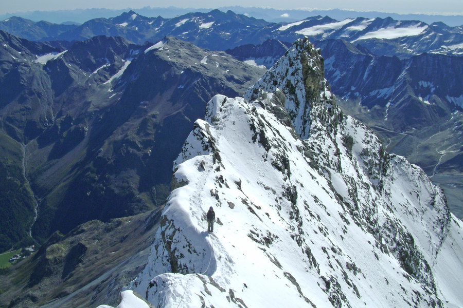
Routes come from Open Data Hub (NOI Techpark, source LTS). The photos show the activity: the exact place is on the route page.
Photos from Unsplash
Justin Luebke, Peter Conlan, Sander Lenaerts, Hans Ott, Marsumilae, Daniel Seßler, Alex Makarov, Pascal Debrunner, Sander Lenaerts, Andrea Belussi, Alberto Restifo, Hikerwise.com, Mountainarious, Anna Kulbashna, Slava Auchynnikau, Maël Balland, Cristina Gottardi, Cristina Gottardi, Kris Tian, Davide Robetti, Luca Caronti, Luca, Soffia Chen., Koushik C, Filip Filkovic Philatz, Ashim D’Silva, Zachary Staines, Joshua Earle, René Reichelt, Jared Erondu, Galen Crout, Austin Ban, Dino Reichmuth, Mathias Jensen, Tommy Lisbin, Wynand van Poortvliet, Sujitkun Khantayana, Greg Rakozy, Matheus Ferrero, Azrul Aziz, Matt Sclarandis, Nicolas Cool, Chris Leggat